Mt. Tapulao Dayhike Guide
Introduction
Mt. Tapulao is located in the municipality of Palauig, in the province of Zambales. It is the tallest mountain in the Central Luzon region. Mt. Tapulao has an elevation of 2,037 meters above sea level or 6,683 feet. It also offers a beautiful ecosystem and breathtaking views.
According to the locals, Mt. Tapulao was once a site of large-scale chromite mining operations. It is also known as “High Peak” during the 1960s when Americans visited the mountain and it is also called the “Poor Man’s Pulag” because the mountain is similar to Mt. Pulag in Benguet in terms of temperature, sometimes the temperature is cooler than Baguio especially at night.
Tapulao came from the Zambal word “tapolaw” which means “pine trees”. It was said that the mountain was named as such due to the abundance of pine trees. Also, Mt. Tapulao is famous for its endless and challenging rocky trail leading to the summit. Along the trail, one can experience its grassy trail, rocky trail, pine forest, and mossy forest. Mt. Tapulao might not be as popular as the other mountains of Luzon but it’s definitely one of the must-hike mountains in the Philippines.
Name: Mt. Tapulao
Jump-Off: Barangay Dampay-Salaza, Palauig, Zambales
Difficulty: 5/9
Features: rocky road, pine forests, mossy forest, and views of the West Philippine Sea
My trip to Mt. Tapulao
I always think that a travel experience to someplace I’ve never been before is more worth it than buying myself material things, so one day I decided to join an organized tour going to Mt. Tapulao. This is the first time that I will be in Zambales province and I’m excited about it. I know Mt. Tapulao is a major climb so I prepared myself physically by doing a two-kilometer walk every day before the event.
I followed the itinerary in our group chat, I arrived at the meet-up place in Cubao at 11 pm and later our van departs from Cubao heading to Zambales. We arrived at the registration site in Barangay Dampay-Salaza in Palauig at 4:10 am. While doing the registration, we noticed that there is a sari-sari store at the jump-off so we buy some food and drinks and we have our breakfast there.
After our breakfast, registration, and securing our guide, we leave in the van some of the things that we don’t need because we need to pack light only going to the summit of Mt. Tapulao. Our group circled and prayed to God to give us the strength to conquer the mountain, keep us safe, and guide us in every step along the way.
We open our flashlights and started hiking at 4:40 am. Darkness envelops the whole area but we can see the stars above along the trail indicating we have good weather. We started at 100 meters above sea level. The first ascent of the trail is on a cemented road and it was exhausting.
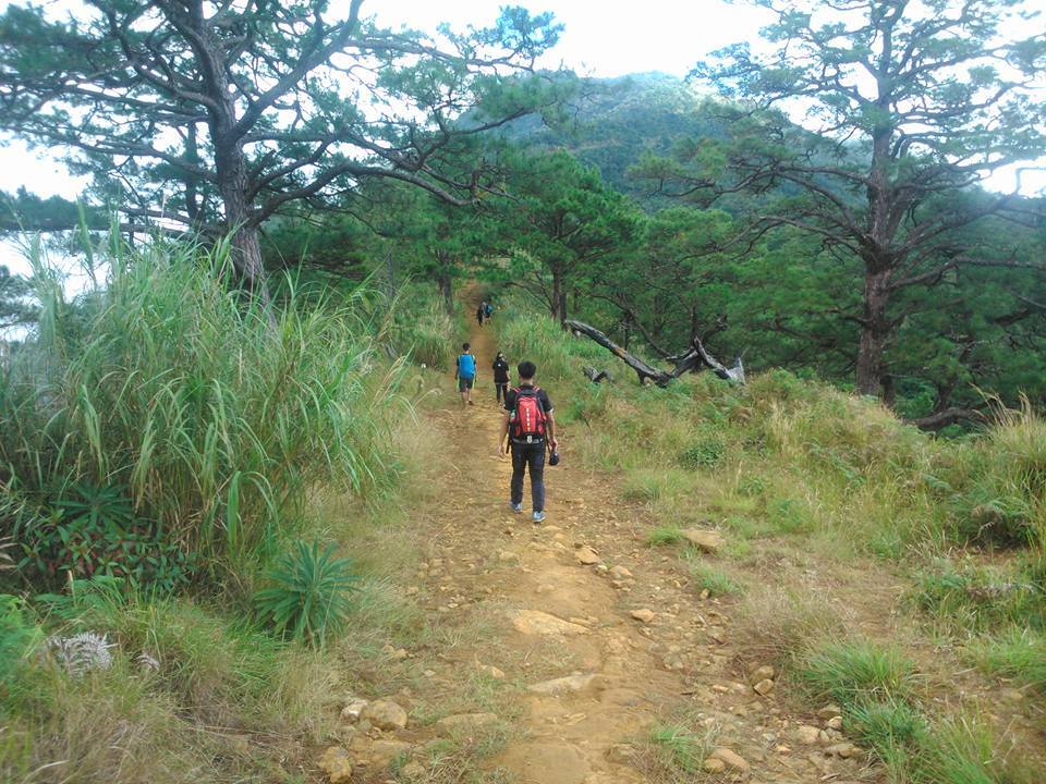
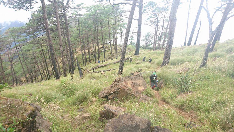
The first peek of beautiful sunrise came an hour later when we were on the open trail dominated by lowland grass and cogon grass. It’s a grassy trail. The first three kilometers of the trail don’t have many trees yet. However, our exposure to sunlight is a good source of Vitamin D. Also, along the trail we found kilometer markers indicating the distance going to the summit.
When we reached the kilometer 4 marker, the trail becomes moderately inclined slopes and is now covered with a lot of trees. We saw some exotic species, rare orchids, bugs, plants, and wildflowers that captures the interest of our group.
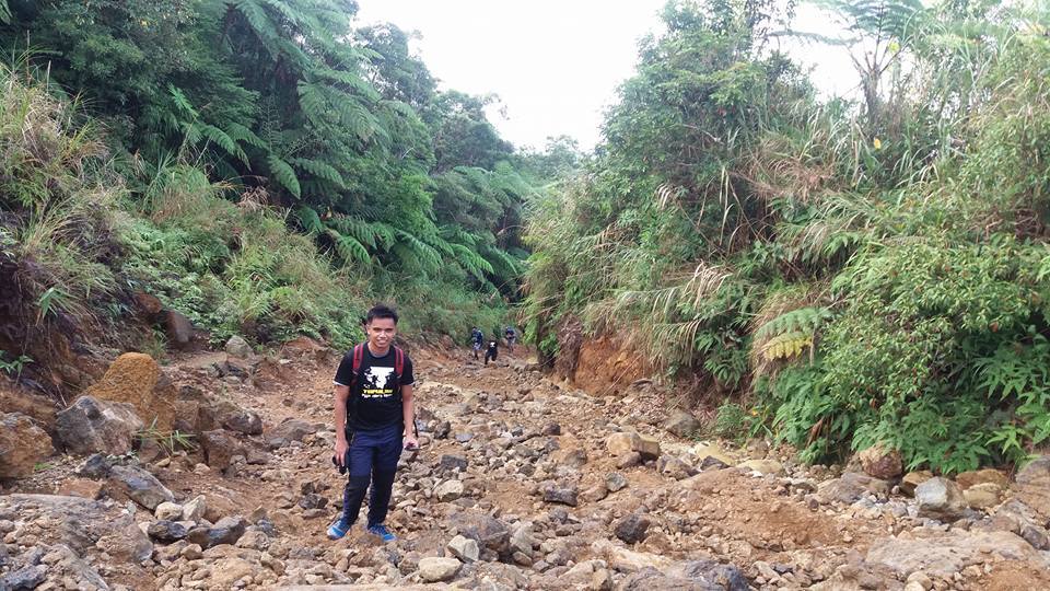
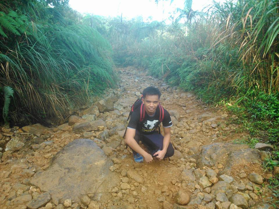
As we go up along the trail, we reached the first water source at the kilometer 6 marker. We are already at 800 meters above sea level. We refill our bottle and take a quick rest. After the quick rest, we continue our hiking and when we reached the kilometer 8 marker the trail becomes more inclined along with the big rocks. We have to be very careful with our steps also because the rocks are slippery. Sometimes, I found myself losing my balance on the trail that result in a slower pace.
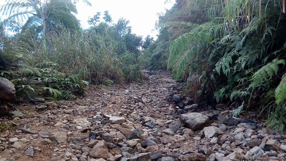
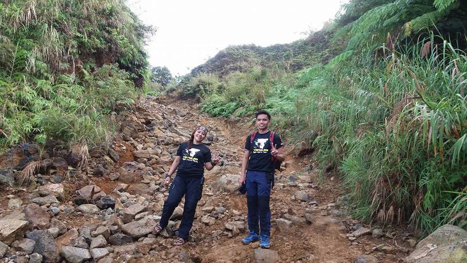
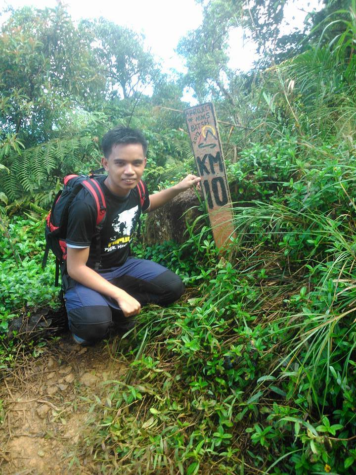
When our group reached the second water source besides the kilometer 10 marker, the trail becomes an extremely endless rocky road and the weather becomes cloudy. I feel like I’m on the Jurassic Park trail.
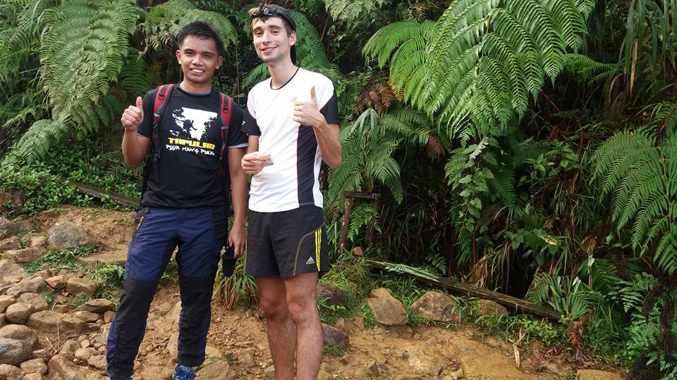
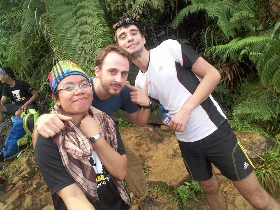
As we resumed our hiking going to the summit of Mt. Tapulao, we gladly met some foreigners, we talk to them and they said they came from Germany, this is the first time I saw Germans hiking, they are great and in good shape, they carried bottled drinks only going back to the jump-off. The Germans said to us that the Philippines is blessed with so many beautiful mountains and we admire them. We take some pictures of them.
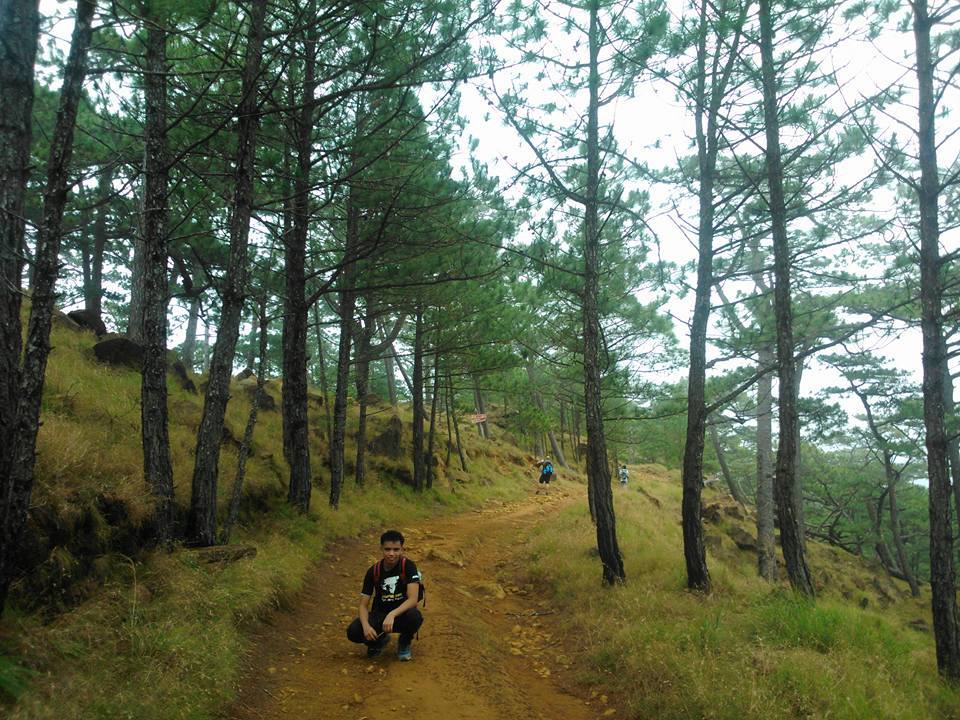
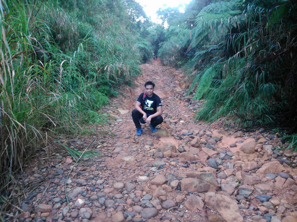
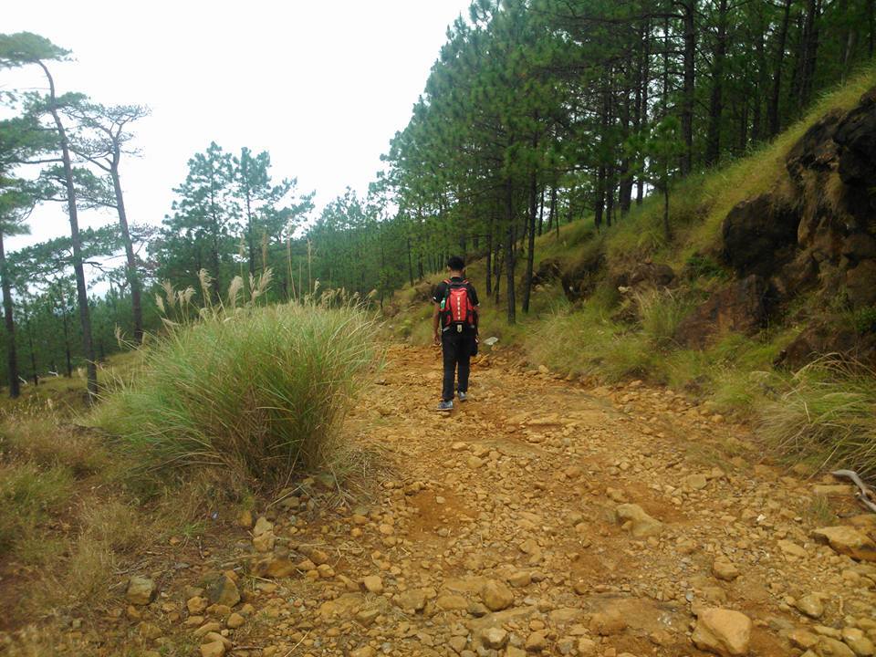
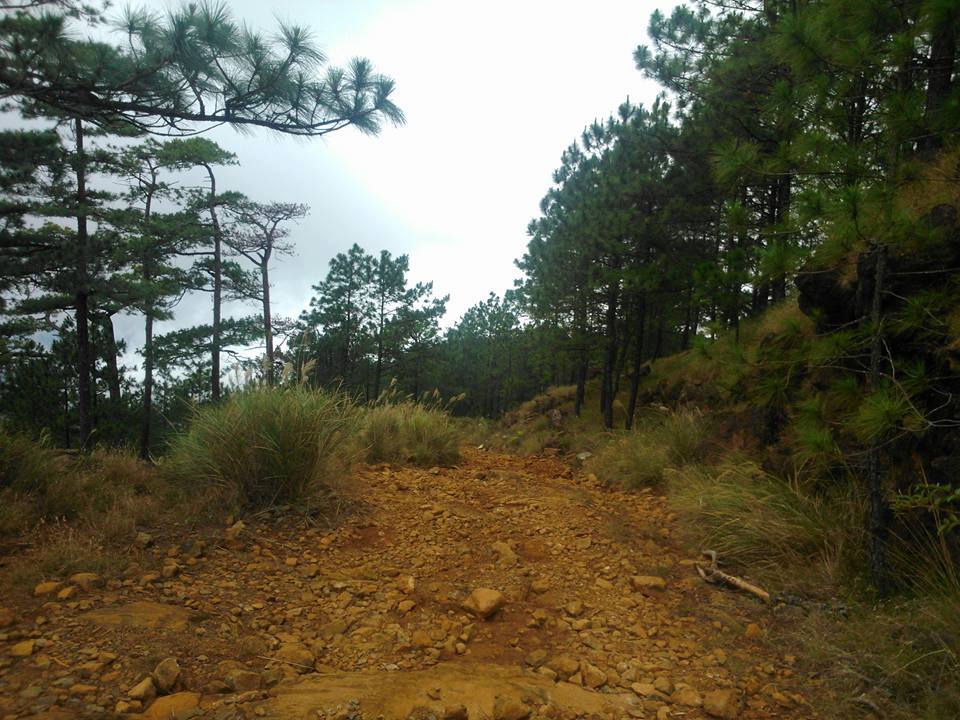
As we continue ascending the rocky trail, the conversations between the members of the group become lesser and lesser. On the other hand, the trail becomes steeper, mostly 40 degrees uphill. After several hours of hiking, we reached the kilometer 12 marker, where the pine trees await us and the weather becomes cooler. Indeed, a refreshing change from the endless rocky road trail. Being on the trail for almost three hours with nothing to see but endless rocks and boulders, we admire the view.
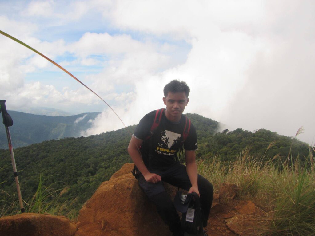
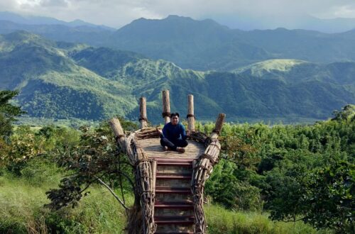
We are already at 1200 meters above sea level and we have a clearing of Zambales province. As we reached the kilometer 14 marker of Mt. Tapulao, the trail go back to ascending rocky road. Our climb continued at a more sluggish pace. My bag felt heavier on my shoulders so I walk slowly. Also knowing we have two more kilometers left to reach the campsite. As a result, it gave us relief and strength to keep going even with our smallest steps.
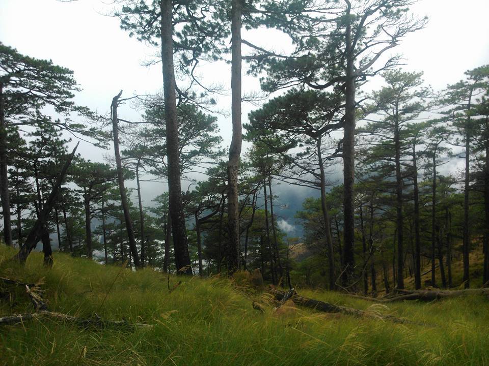
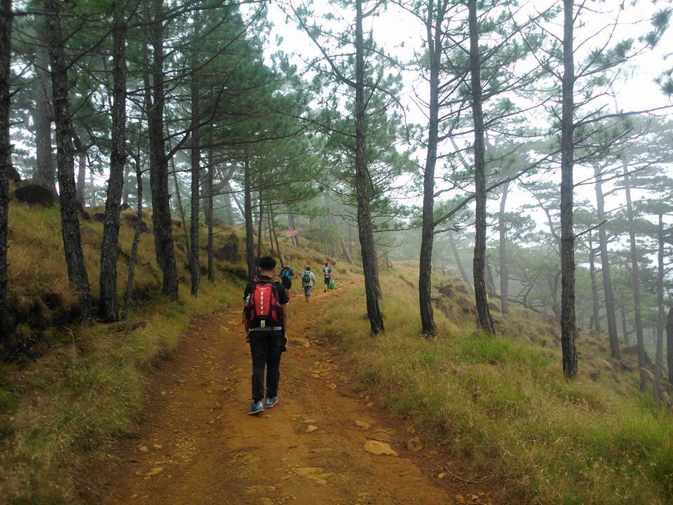
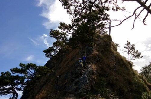
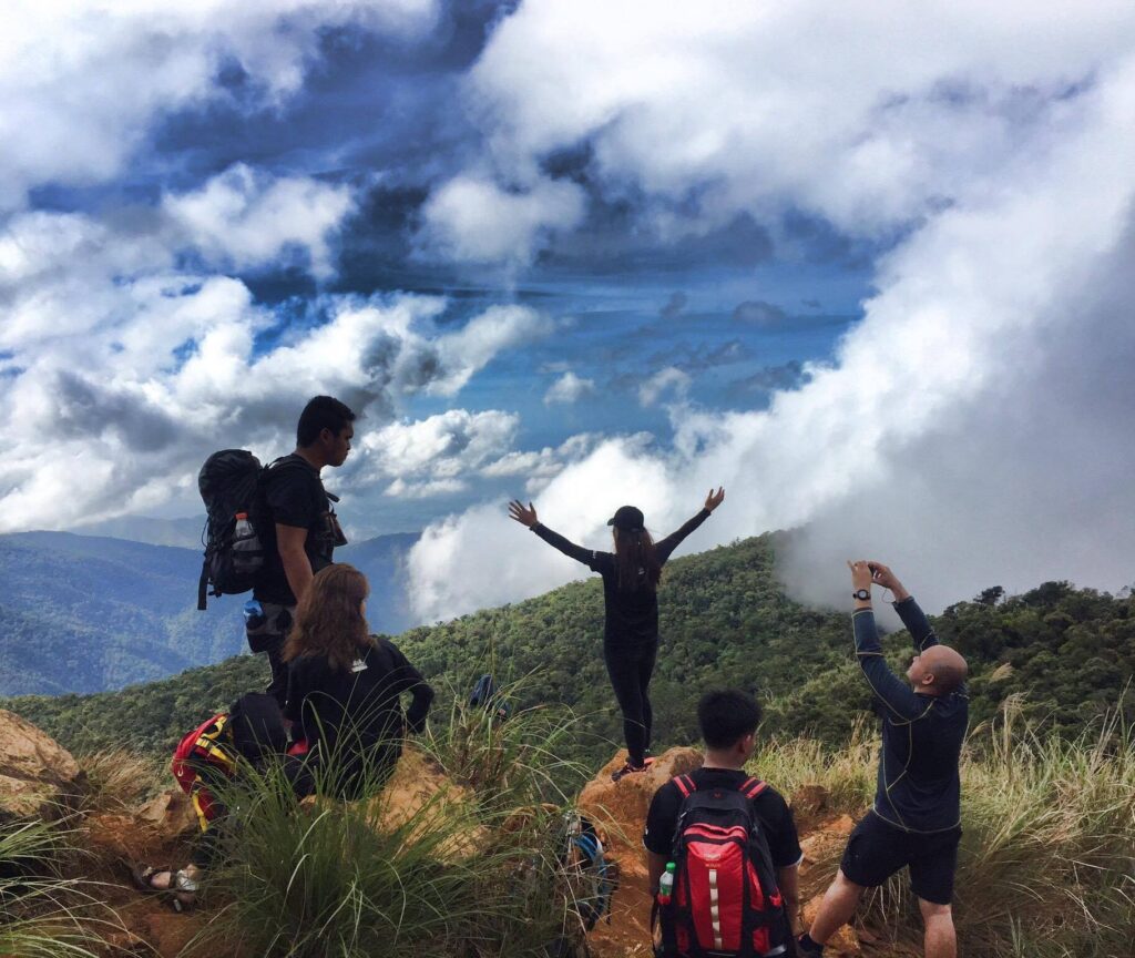
We continued walking and later we reached the steep ascending portion that runs on a pine-forested trail. The view of the pine forest is breathtaking and surreal. The trail becomes a pleasure. The trail is now very similar to the mountains of the Cordillera region because of the cold weather and the abundant pine trees along the trail. The thick fog got in our way which makes the trail beautiful in the eyes as we continued ascending.
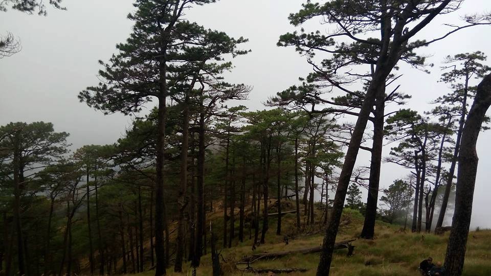
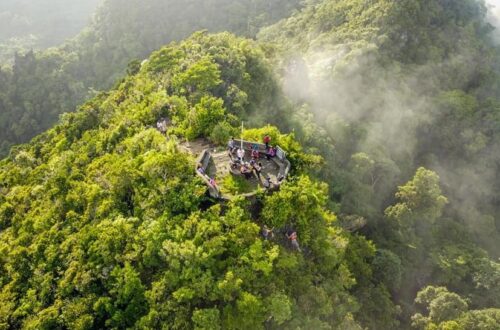
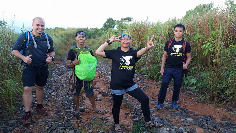
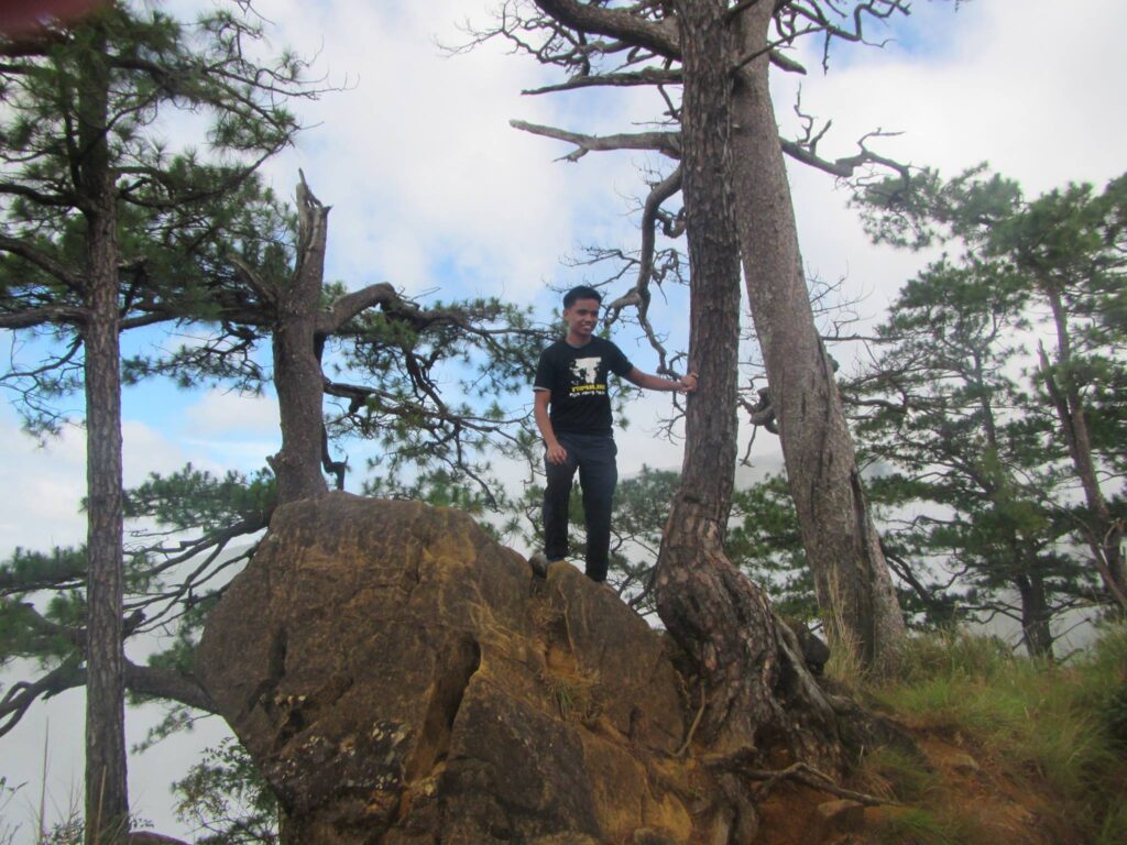
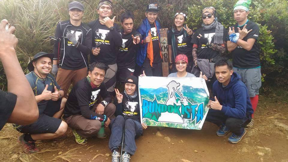
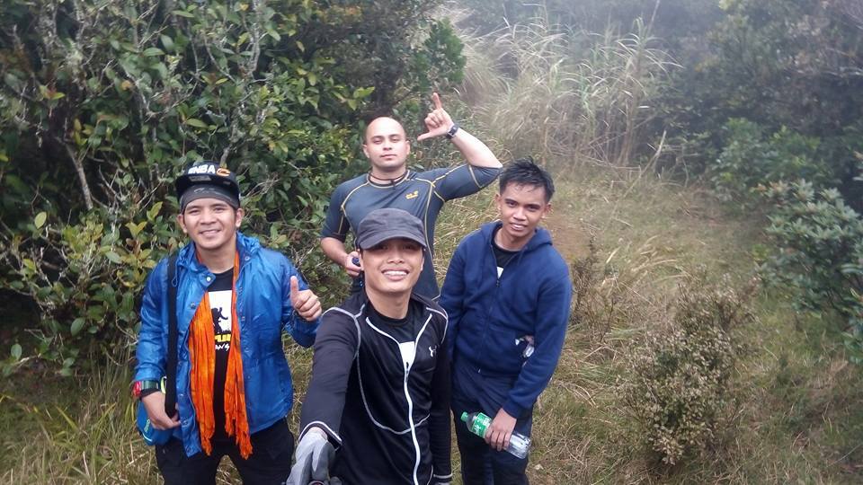
Later, we reached kilometer 16 marker where the campsite of Mt. Tapulao is located. It is full of pine trees. We have our group pictures there, and we rest for a little bit. The view at the campsite is stunning, it feels like you’re in another world. I feel the strong winds blowing and it’s too cold there, so I put on my jacket. We also see other groups that do camping there.
After done resting, we resume our hike. Then we pack light and leave on the campsite some of our belongings. We just bring bottled water, a cellphone, and a camera. For the most part, the trail leading to the top is on a gradual terrain with many tall pine trees, thicker wild grass, and gigantic tree trunks in a wide charcoal-smelling woodland. It was one kilometer of the assault until we reached the Mossy Forest’s facade.
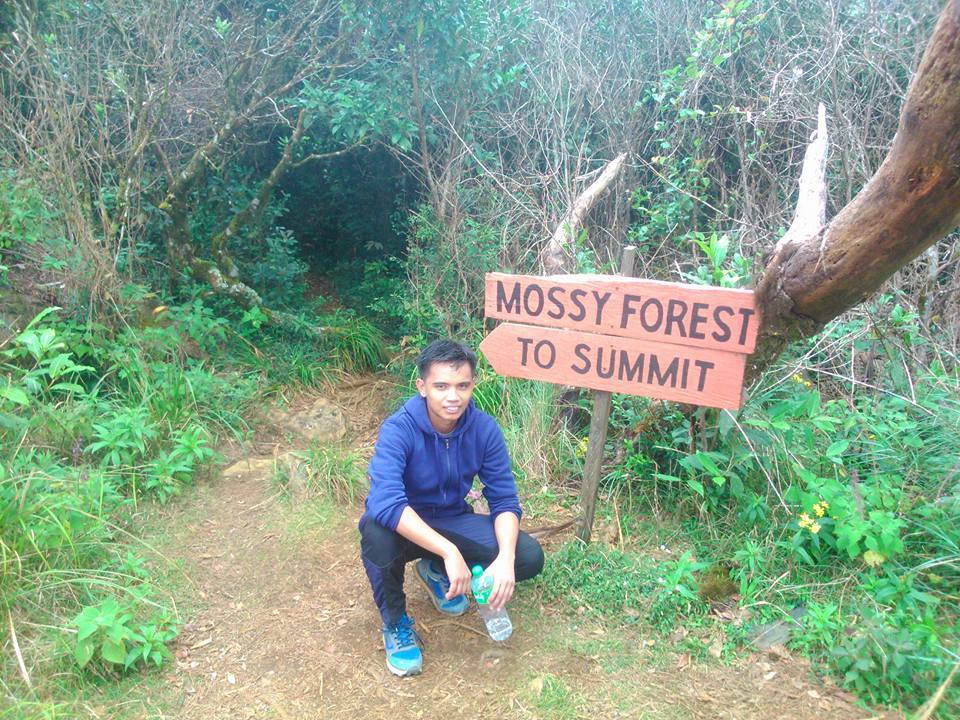
Droplets of rain started to pour on us. We are now 1,875 meters above sea level and the temperature becomes cooler. After trekking the pine-forested trail, we reach the entrance of the mossy forest. It was like a creepy secret passage. Moreover, this is the final leg of the trail going to the summit of Mt. Tapulao.
Inside the mossy forest is rich biodiversity. We can see numerous insect species as well as varicolored flowers and exotic plants. Also, the place is enveloped by dark green mosses, fruit-bearing trees and green flora, and fauna. Different types of bird species can be heard also.
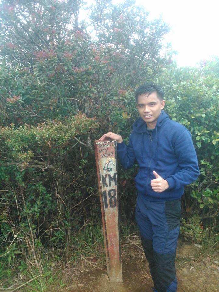
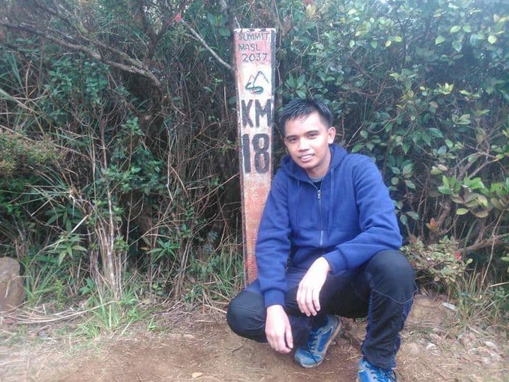
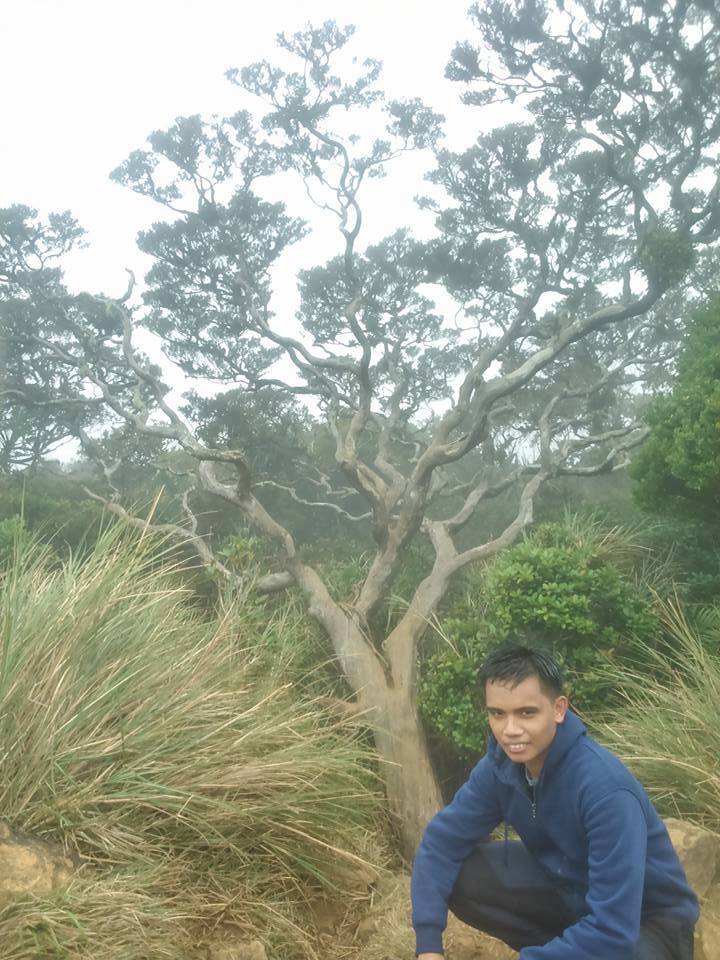
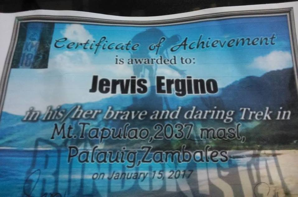
After forty minutes of hiking from the campsite, finally, we reached the summit of Mt. Tapulao. Our group finally conquered the highest mountain in Zambales The summit is only a small area covered with mossy forest. We take group pictures at the famous kilometer 18 marker found at the summit. We also see the world tree serves as the summit marker.
The summit of Mt. Tapulao does not offer amazing views because it’s covered with a forest of bonsai trees which is a good thing and also it was raining, so we didn’t have any clearing at the summit.
Overall we are so happy because it was satisfying and fulfilling to reach the highest mountain in Zambales after seven hours of hiking. We start the hike from a very low altitude of 100 meters above sea level going to 2,037 meters above sea level, it is one of the highest altitude gains in the Philippines. The elevation gain can be compared to the Akiki trail of Mt. Pulag.
Since it was raining already, we don’t stay at the summit too long. We need to go down immediately and go back to the campsite. So we started our descent slowly and after we reached the exit point of the mossy forests, all the members of the group trail run the pine-forested trail going back to the campsite.
After we reached the campsite, luckily the rain stop. We take our lunch there, savor the moment and have fun being with nature. After resting for a while, we started the descent back to the jump-off of Mt. Tapulao.
We walk slowly then the rain started to pour again on us during the descent but this time was a heavy downpour. However, our group is prepared, we have our umbrella and raincoat inside our bag, so we trail run going down. As a result, our group is scattered, some members of the group are already ahead by a long distance, and some members are left behind.
To not be left on the trail, I didn’t have any rest at all. We continue trekking down. We need to reach the jump-off before nightfall. As we reached the rocky road trail again. We walk slowly but continuously descending in unending stones and mud. The rain made the trail even harder and more difficult. The wet loose rocks add pain to the feet, knee, and ankle as we go down the mountain.
The trail is downward inclined so we watch out for slippery stones and always be careful on every step we made to avoid any injuries and bruises. I thought it was easier to go down the mountain. However, the trail going down tests our patience. The damp reddish ground and slippery rocks with a hint of moss contributed to the slippery journey.
As we reached the kilometer 10 marker, the rain stop, we rest for a little while and we refill our bottles. Then as we continue our descent, one member who was with me on the trail pulled something out of his bag and we saw it was a music stereo. He started playing the playlist on the music stereo as we go down. We never get bored going down the trail even though we are very far away from the jump-off because of good music to ears. It was relaxing.
Our trail food also has been depleted as we go down. The descent going back to Mt. Tapulao jump-off is much faster now compared to the ascent earlier but I feel the trail is getting longer as we go down.
As we continue descending at a faster pace, we reached the kilometer 6 marker then later along the trail I saw one of the most beautiful sunsets in my life. It’s like a painting made by a perfect Painter. I watched the sun go down in orange with the view of the West Philippine Sea in the background.
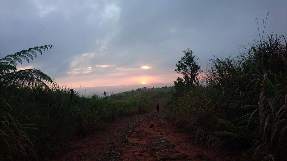
However, the final six kilometers of the trail felt like a half marathon. The fact there was only me and one member of the group on that vast and never-ending trail seemed to be scary because we got separated from the rest of the group.
As the night came, we pulled out our flashlight inside our bag and we continue walking down in uneven terrain. Pure darkness enveloped the place. The sound of other animal species that I am not familiar with were the only sounds I was hearing. I tried to move as fast as possible because my flashlight just died and I’m using my cellphone light with only twenty percent battery life.
Finally, we saw city lights from a distance, indicating we are near the jump-off point. At far, we can see the other members of the group waiting for us. We sit at the rock and rest. Then we wait also for the other members of the group to come in and regroup. We share some thoughts as we rest and I heard from someone that if he ever goes back to Mt. Tapulao he will be doing overnight not dayhike same with me to be able to enjoy the trail more.
As the other members arrived, we continue our descent. We finally reached the jump-off at 7:30 pm. We saw the locals who were hanging out in front of their houses and we greeted them with an exhausted tone. It took us six hours to descend. Overall we spent fourteen hours on the trail of Mt. Tapulao including rest and taking pictures. We wash up and have dinner later. Then the next day we got back to Manila safely after a long road trip.
Our group successfully completed a dayhike on the tallest mountain in the province of Zambales and one of the best mountains in the Philippines. Thanks be to God. It was an amazing fulfillment and unforgettable experience. It was all worth it.
Mt. Tapulao is my third major climb. The trail itself is not very steep but the sheer distance of eighteen kilometers to the summit and eighteen kilometers back to the jump-off will truly test your patience, physical and mental strength. The trail feels infinitely long especially when going down. I will never forget the rocky road that constitutes almost 80 percent of the trail. Nevertheless, it’s a rewarding experience as it offers stunning views along the pine forest, which is similar to those found in the Cordillera Region.
Special thanks to Sam De Jesus Gaston and the Bundokista group for this awesome trip and thrilling adventure. Take nothing but pictures and memories. For more travel and hiking events, please check their Facebook page group.
Hopefully, in the near future, I can go back to this wonderful mountain.
Sample 1 Day itinerary to Mt. Tapulao
10:30PM – Assembly/meetup
11PM – ETD going to Zambales
4:00AM – ETA at Brgy. Dampay-Salaza, Palauig, Zambales, register, secure guide
4:30AM – Start hiking
9AM – Arrival at the campsite Kilometer 16 marker
9:40AM – Arrival at the entrance of the mossy forest
10:15AM – Arrival at the summit of Mt. Tapulao, kilometer 18 marker, rest
10:40AM – Start the descent, backtrail
11:15AM – Lunch at the campsite, explore
12:30PM – Resume descending
5:30PM – Arrival at the jump-off
6:30PM – Dinner, wash-up
7:30PM – ETD going back to Manila
Note: this sample itinerary is just a basis and not absolute or will not be 100% perfect due to many factors.
Things to bring on your visit to Mt. Tapulao:
Jacket
2-3 Liters of water
Trail foods
Pack lunch
Extra money and extra clothes
Toiletries
Camera
Headlamp or flashlight
Personal medication
Umbrella
Scarfs or caps
Raincoat or Rainjacket (in case of rain)
Garbage bag
Neck Pillow for the long ride (optional)
Reminders and Tips:
- Mt. Tapulao is a major hike. It’s not good for beginners. The trail of Mt. Tapulao is so long. Before climbing, make sure you are ready physically and mentally.
- Always observe the LNT principles (Leave No Trace). Always be a responsible hiker/camper and bring your own trash when u go down. Keep the mountain clean for future generations to see.
- Respect the place and respect the locals.
- Be sure to bring headlamps and flashlights. Also, Pack light. This is very important.
- Bring lots of water as there are only a few water sources inside the mountain.
- Starting the hike very early in the morning is highly recommended because it can be quite hot during the day because much of the trail is exposed to the heat of the sun.
- The hike to the summit of Mt. Tapulao takes about 7 to 9 hours depending on your pace.
- Bring extra trekking sandals because the trail can get really slippery.
- If you think you can no longer make it to the summit, inform your guides.
- Hikers and tourists who are aiming to climb Mt. Tapulao are required to register at Brgy. Dampay-Salaza, Palauig to receive further safety and security.
- The guide fee is 1,000 Php for a group of 5. Pancit Canton is 40 pesos. Bottled Water is 40 pesos.
- Last but not least, if you’re a seasoned mountaineer you can do the Mt. Tapulao traverse extended dayhike which can last for twenty-five hours or more. Mt. Tapulao traverse starts from the Palauig, Zambales, and ends on the eastern side of Barangay Labney in the town of Mayantoc in Tarlac province or vice versa. The Mt. Tapulao traverse is perhaps the most challenging hike in the Central Luzon region but the reward is a more diverse environment and a greater view of the region.
How to go to Mt. Tapulao
By Commute:
- From Cubao bus station (Victory Liner Terminal), ride a bus going to Iba, Zambales, and alight at Iba terminal station. The travel time is approximately 4 to 5 hours. The bus fare is 390 pesos.
- From Iba bus terminal ride a tricycle going to Sitio Dampay, Barangay Dampay-Salaza and tell the tricycle driver your going to Mt. Tapulao. The driver will drop you off at the registration site. The travel time is almost one hour. The tricycle fare is 400 pesos but it’s negotiable.
Note: Check first the Victory Liner website for available schedules of buses going to Iba, Zambales.
By Private Vehicle:
- From Manila, drive to NLEX (North Luzon Expressway) and SCTEX (Subic Clark Tarlac Expressway) then proceed to Iba, Zambales.
- Make a right turn at the junction in Dampay Salaza, Palauig, Zambales then follow through until you reach the trailhead. The travel time is approximately 4 hours.
Life goes on. Choose to live it well. In general, I hope this Mt. Tapulao travel guide and hiking reference has been helpful to you. Also, don’t forget to share this with your friends or groups if ever you plan on doing the Mt. Tapulao day hike too. God bless you in all your future hiking adventures. Until next time. Thanks for reading.
Jervis Ergino
Hi! I’m Jervis Ergino, the digital content creator behind Hike to Mountains, a travel and hiking blog in the Philippines. This blog is dedicated to helping people know more about the best hiking and tourist destinations in the Philippines.